Beltane and the Bar Mitzvah Moon
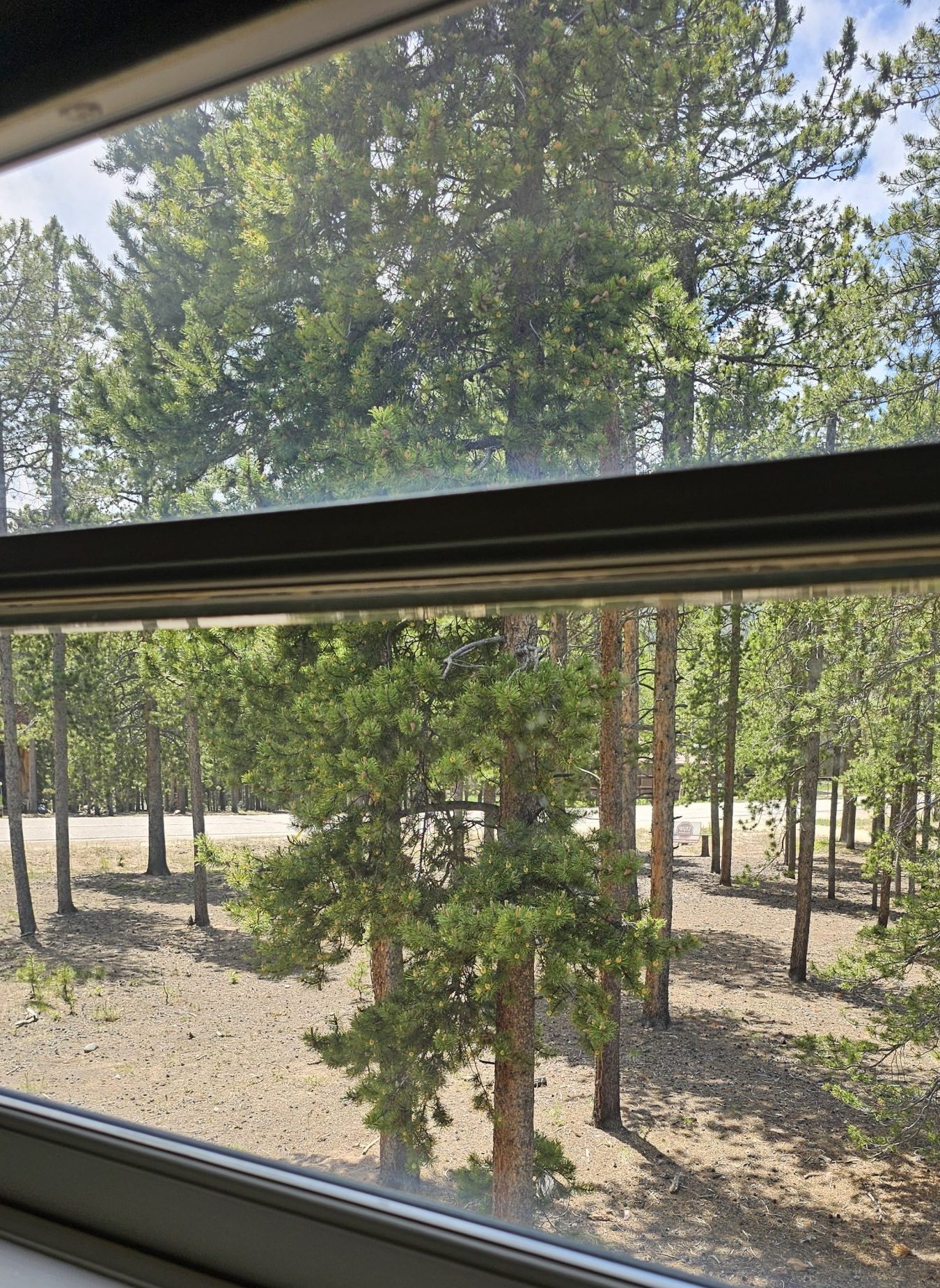
This Tree, a Lodgepole, a Pinus contarta latifolia, stands first in the view out of my window where I write. I can see other Trees and Black Mountain, but over time I’ve developed a fellow feeling for this Tree. Watching Snow sag its Branches. Then how they slough off the Snow. How its Leaves (needles) change color with available moisture. Right now, at the end of a wet Spring, intense green. How it waves gently in a breeze, sways from its base in strong wind gusts. How it remains in its spot, committed and content. I feel it as a literal companion, there when I need it. Always steady and strong.
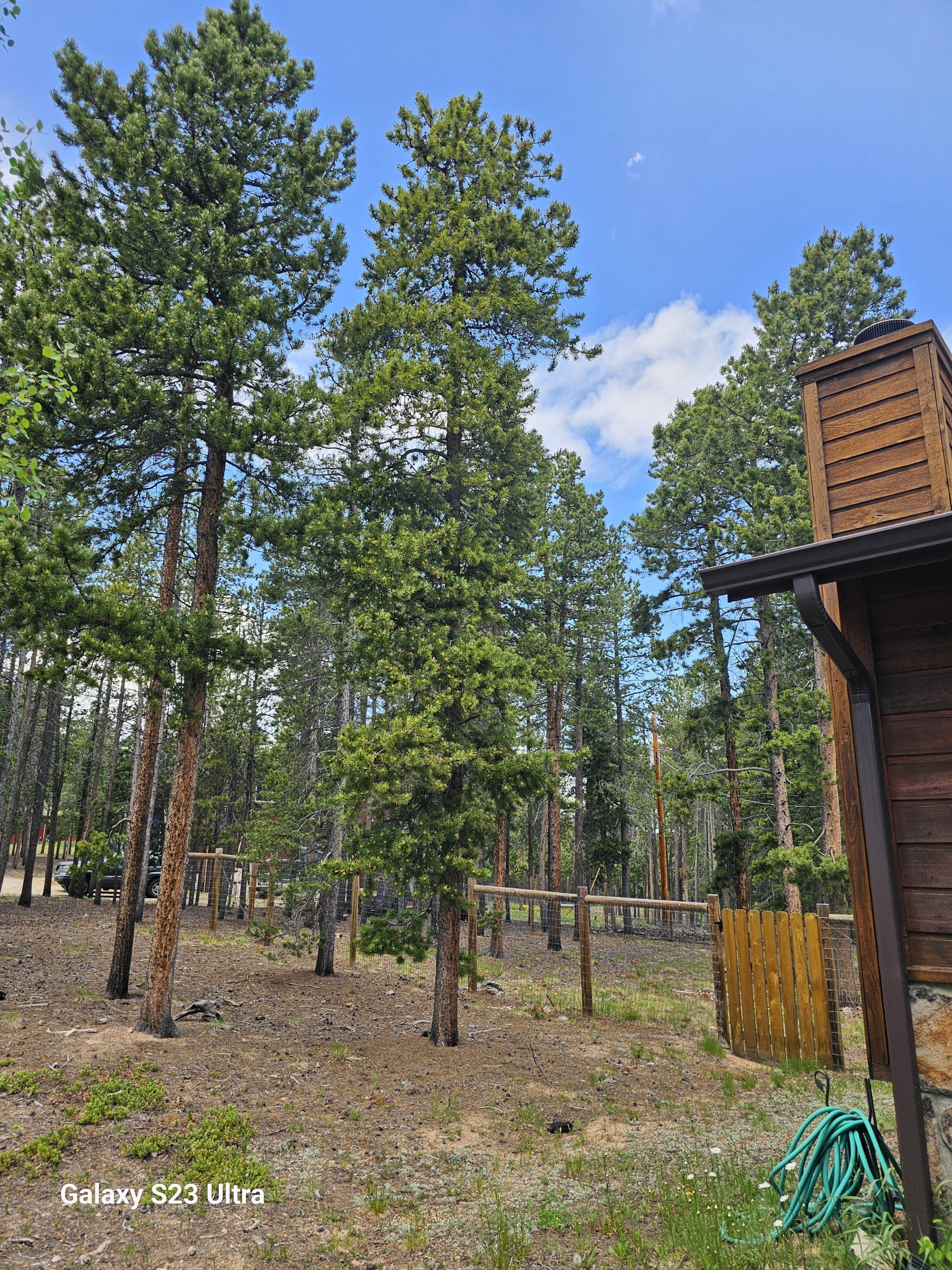
On close examination I noticed it has few Branches spread toward the northwest. Other Trees in its small Grove block the sun from that direction. Its Branches have multiplied on the southeast. Right now they seem to be agreeing with my writing, nodding vigorously as a breeze contacts them. This Tree also has Branches near the ground. Due to fire mitigation needs I trim those off unless, as here with my Companion, the surface is rocky, not flammable.
These Trees grow close together. Lodgepole Forests have evolved to burn in crown Fires, then reestablish themselves anew when the high heat melts the pitch holding their serotinous cones tight. This evolution might make you wonder, why live in a Lodgepole Forest? As I do. Well. Gee. Shuffles shoe in the dust. Don’t really have a good answer to that outside of beauty and the Mountains.
I’ve got get to down to the main Denver Public Library which has a special internal library holding of books on Colorado History. The Colorado History Museum, too. I want to chase down the logging history of the Front Range, especially along what is now the Front Range corridor. An arborist I know told me, and I’d already suspected, that the whole area on either side of what is now Hwy 285 was clear cut to build the city of Denver. 285, also according to him, follows the route of the logging railroad built out as far Kenosha Pass, almost to South Park.
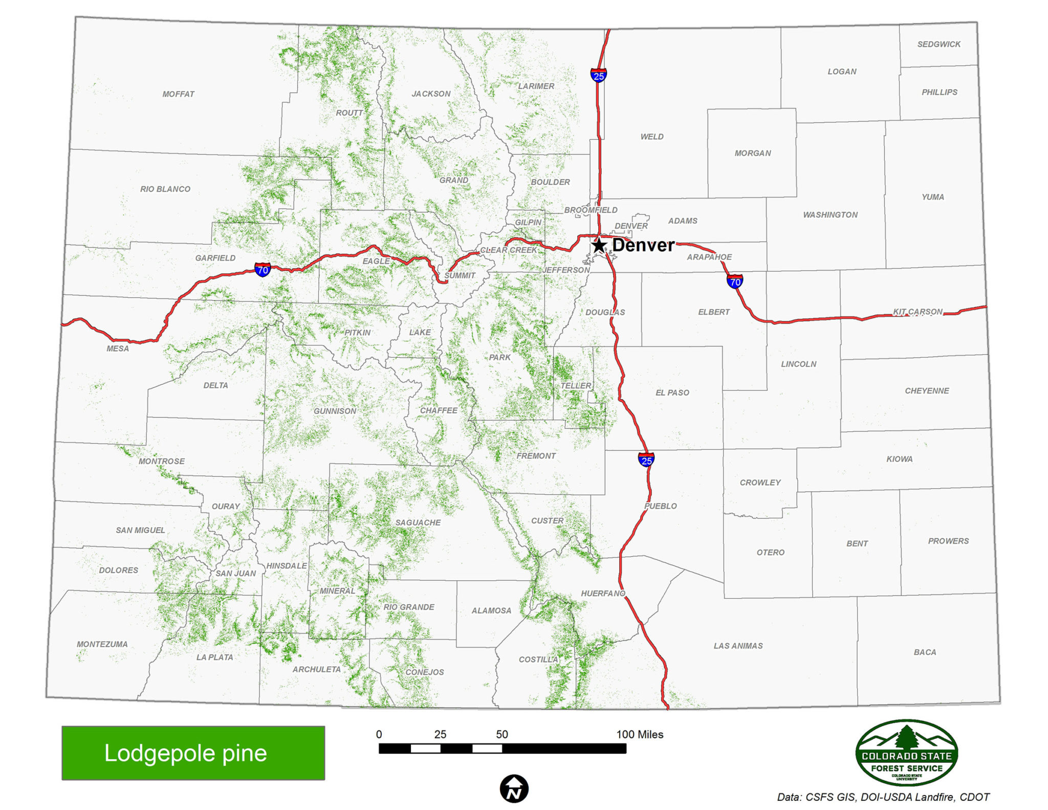
Here’s a map of Lodgepole stands in Colorado. I’ll later post one for North America.
I want to put the Arapaho National Forest, Conifer, Evergreen, our chunk of Jefferson County in perspective. Who lived here first? The Utes, I imagine, but I don’t know that. Why did they leave? When did the first white folks settle here? When was the clear cutting? How long did it last? What did it ruin? Enhance? When was 285 built? Our small communities, when did they come to be? Why?
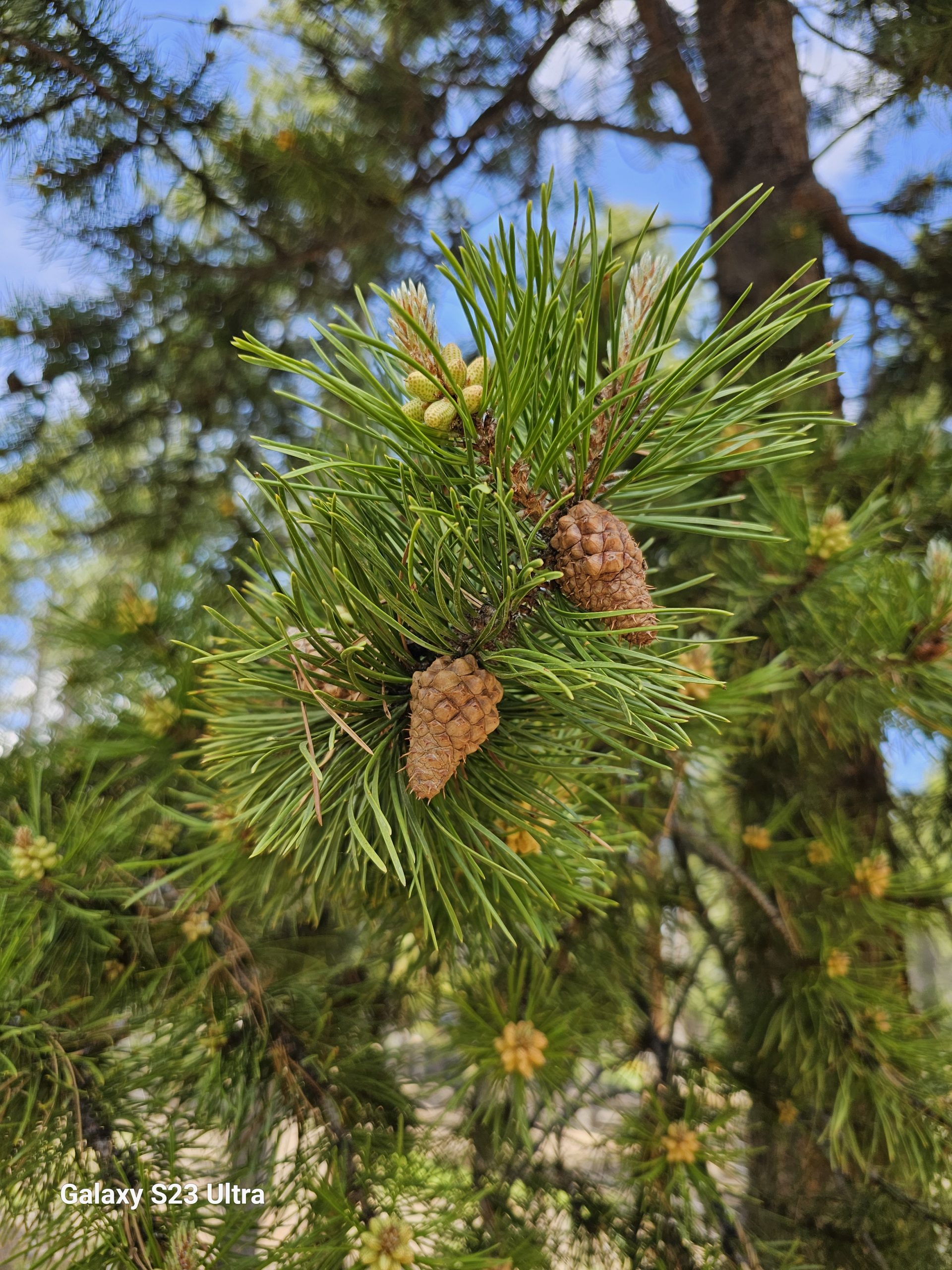 My Lodgepole Companion represents a contemporary Forest grown up, I think, to replace the one clear cut at the turn of the last century.
Their (I’m using binary pronouns for the Lodgepoles since they have both sex organs on the same tree. Monoecious.) growth has a reason here in the montane/sub alpine altitude range, 8,000-10,000 feet. Not sure what it is.
